bythometry by mickeylab98 on GoAnimate
Video Maker - Powered by GoAnimate.bythometry by mickeylab98 on GoAnimate
Video Maker - Powered by GoAnimate.
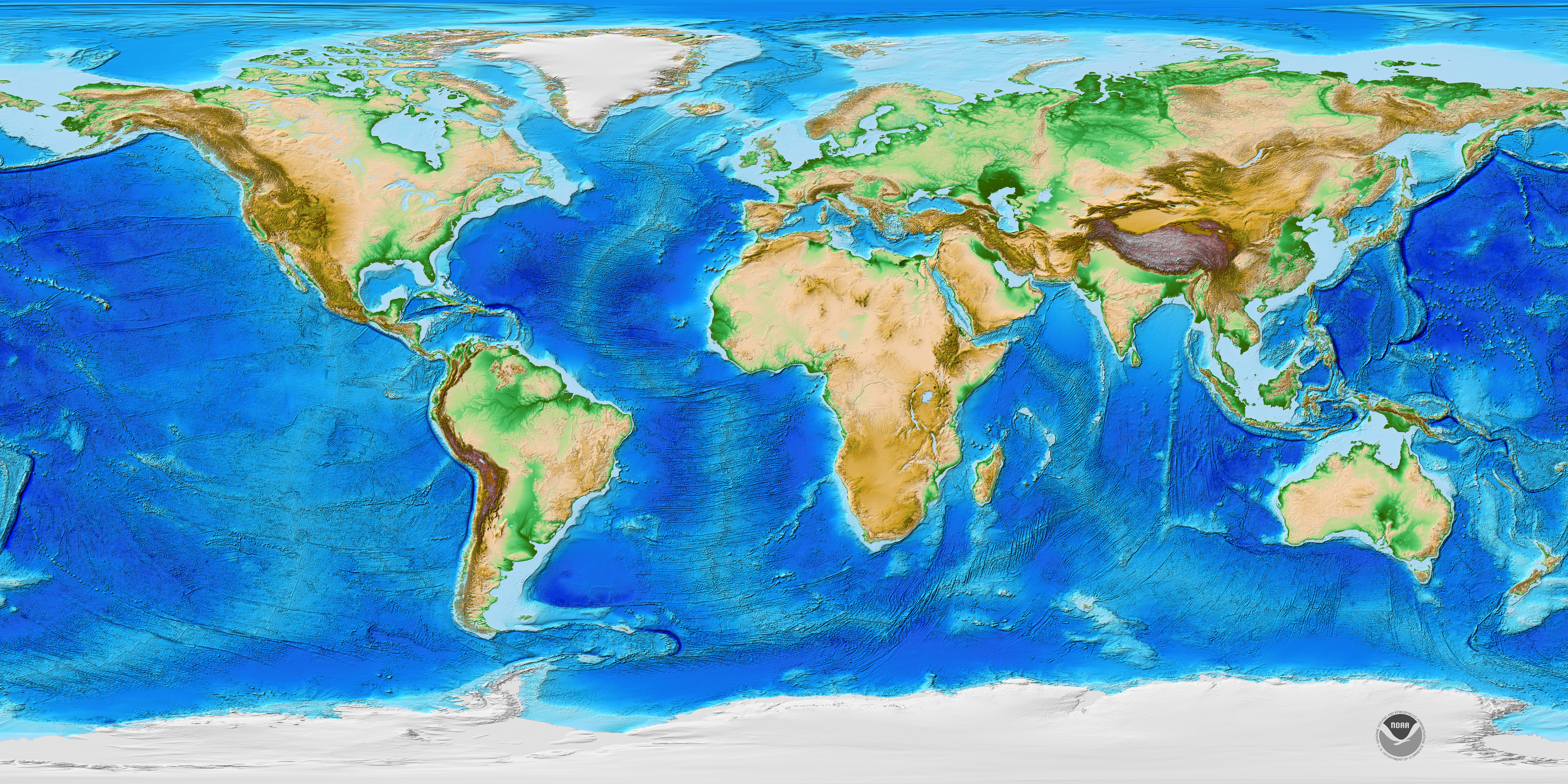
1.Bathymetry is the measurement of the depth of water in oceans, rivers, or lakes. Bythametric maps use line to show the shape & elevation of land features. On topographic maps, lines connect points of equal elevation & points of equal depth.
2. In ancient times, they measured the depth with a heavy rope, however they were inaccurate & incomplete.
3. Now echo sounders are used to make bathymetric measurements, the time it takes for the sound wave to come back, the deeper the water. The accuracy is limited and sometimes inaccurate.
4. Multibeam echosounders are more effective because they provide angular resolution,, the ability to measure different angles. Meaning a single feature for the seafloor.
5. Many things have been discovered thanks to bathymetric technology, for example, thousands of seamounts were discovered in the central Pacific Ocean.
6. Bathymetric measurements support safe navigation & protect marine environments. They can predict strengths of tsunamis.


No comments:
Post a Comment